
It was a stupendous storm. Lightning firing up the sky every second like a strobe and thunder a continuous rumble. One crack was so accented, I could see the jaggedness through its sound.
And the rain was torrential, banging against my wee tent in waves like an out-of-control firehose. The splash sent muddy water past my fly. The sides of my quilt got soaked, but I was shockingly toasty warm underneath. That’s the miracle of high tech gear.
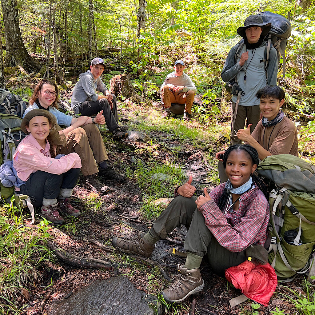
After it ends, I sleep deeply until Victor’s snoring wakes me up. To be honest, I’m happy he and Eva and the three teenagers are here. It made me less panicky.
When the first thrush starts in around 4:00, it becomes clear packing is going to be a misery. Slugs slime me as I pull them off my shoes. My tent is leaden, though provided some shelter to about fifty earthworms.
I pack wet and plan to dry out along the way, even if it’s gray and cool. I pass Lindsay, a teenager thru-hiking in tiny bite-sized days. She’s surprised by the huge puddles having slept through the storm. I’m glad I stayed up to watch.
The creek is boiling full and I stop to fill a liter before heading up through even thicker mud and much hungrier mosquitos. The birds cheer me along as I slip and slide. Where do they go during a storm like that.
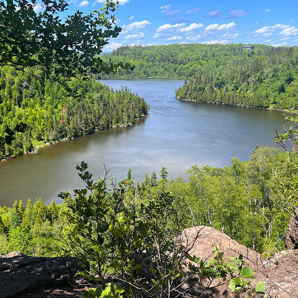
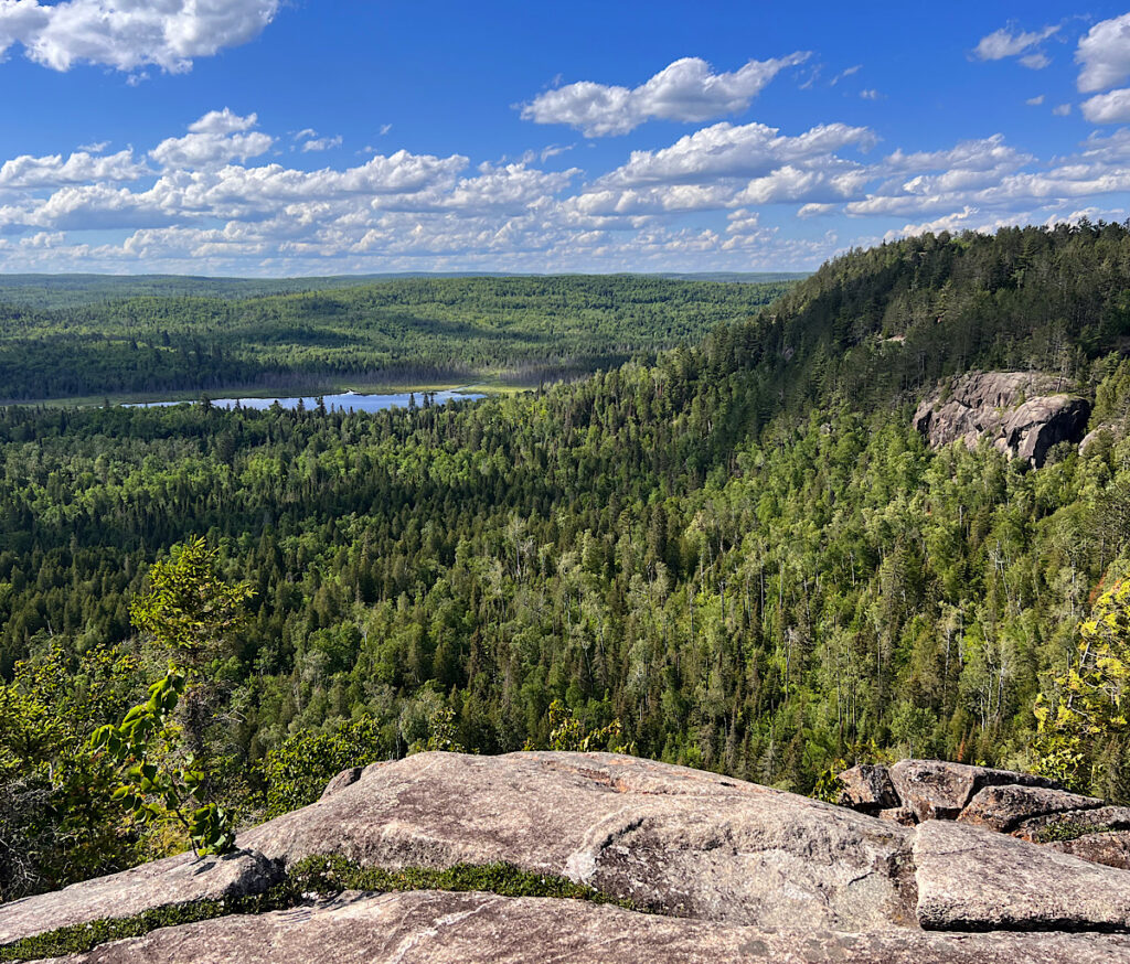
The wind is wild as I climb steeply up to stunning Mount Trudee – exposed granite domes looking past white pine to cliffs and an endless forest above wetlands. I hear veeries and hermit thrushes loud and clear all the way up here as I hang my tent on two trees to catch the breeze.
I park myself on a rock and have second breakfast, but the wind can”t dry this muddy mess.
Below I enter a glorious spring green stained glass maple forest, leaves quaking dark-light, dark-light. More trails from Tettegouche State Park join the Superior Hiking Trail and I take a spur to Raven Rock, mostly because I’m assured an ‘incredible view.’
Meh.
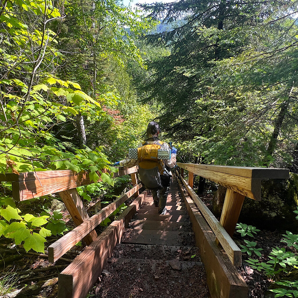
Victor catches up just as I reach a steep chute called “The Drainpipe.” A few years ago, it was a hand-over-fist climb, but wisely, stairs have been built beginning with very wet rock ones, then wooden.
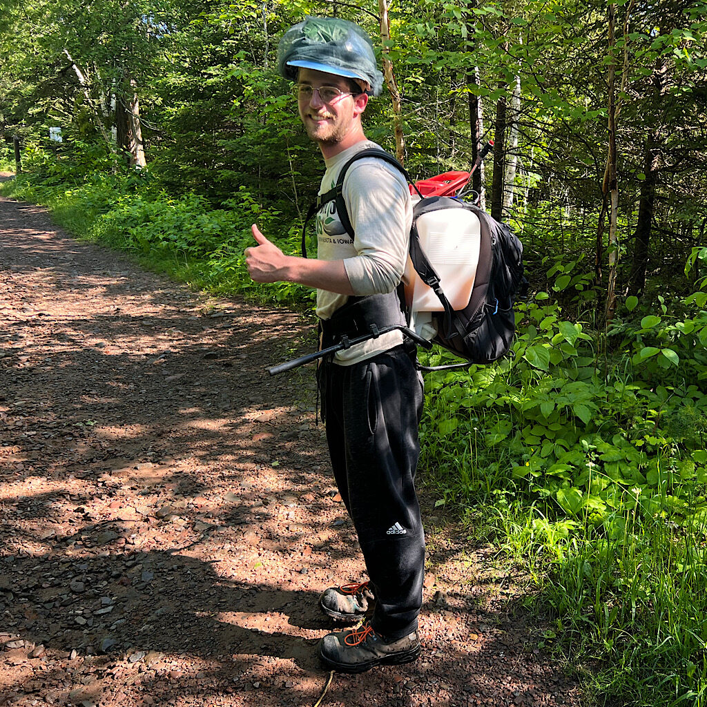
We chat about his kids, especially his daughter who loves the big feelings – emotional and physical – she gets hiking. A trail worker passes by carrying a backpack with a plastic container and hose. Jacob is on his way to kill invasive tansy.
I ask him about the upcoming sections. This past spring was so wet, it destroyed parts of the trail as well as bridges including the one we’ve just come to over the Baptism River.
At Split Rock, hikers can wade across using a rope for balance. This bridge is directly above the highest falls in Minnesota, and the only way to continue is to cross two-and-a-half miles down the road – and of course, that includes walking back up.
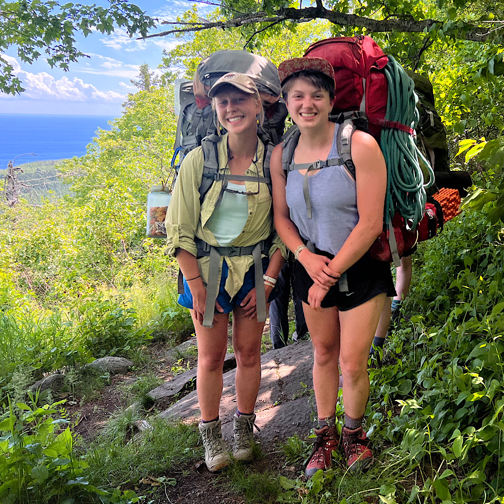
I did all this recently, but he convinces me not to miss it. Fortunately, I’ve made friends on trail and Eva’s parents drive us to the bridge. It’s ideal here for drying with picnic tables in the sun and wind off the lake. It’s a party with food too – and John, one of my friend from Rovers Club here to hike. Small world.
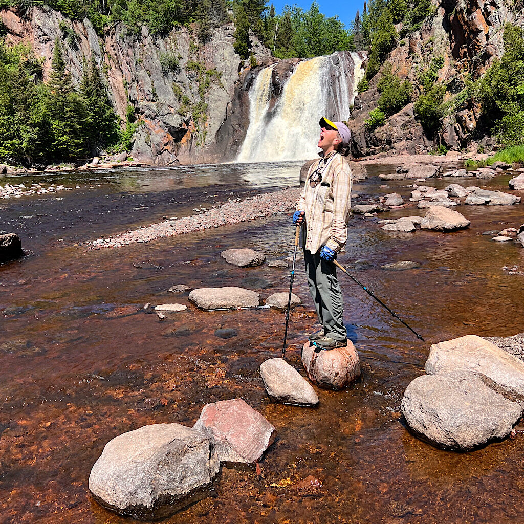
Eva and Victor decide to skip this bit, but I hike up to the falls on a wide tourist path nearly free of mud. Mike and Terry from Iowa follow, assuming I know where I’m headed. They tell me to make good decisions when we part at the high falls, the largest within the state of Minnesota.
I walked this section last year, but I forget how steep it is on rocks where hands help. Only a mile, but a workout to a view of the big lake, then straight back down. I meet another Outward Bound group unaware the bridge is out. They will not enjoy the long, exposed, uphill toad walk.
The sun is out in full and I’m exposed most of the afternoon on steep up and down, views opening again and again to the lake, now lapis blue. I can’t say if it’s a change in soil content – there’s no mud – or the wind coming in long gusts, but there are no bugs at all.
I wind up, then down and steeply up again to a perfect flat spot where I stealth camped one time. I down a liter of water. It’s never flat, but I sidle the cliff, a buffer zone of trees lead to the lake. White birch lean to the side as if weeping, no leaves, their heads chopped off but still beautiful in death.
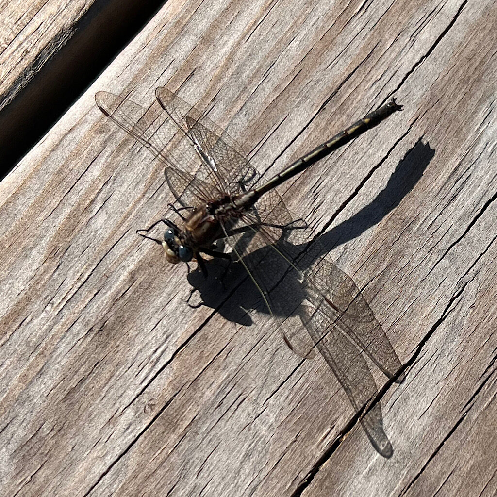
Black and white dragonflies lead the way. They land just ahead of me as if ti say, “C’mon!” then lift off, zinging in any direction of their choosing, weaving around each other politely before the dance begins again. I feel clumsy plodding up and down, my footfall heavy and enervated.
I stop at Kennedy Creek and drink a liter before heading back up on chunks of rock placed in a stair-like position. Buttercups line my path, their sheen reflecting the light like a high polish.
I reach a ridge and move slightly faster through enormous maples. How are they up here so high on this rock and how did they grow to be so tall this close to the lake? It’s a beautiful forest and I repeat, “Bring it on!” when the wind picks up.
It’s beautiful, all alone up here. But it’s hard walking – and long. I meet a group of YMCA campers who are being led tonight to a stealth site. Some education.
Yes, I have camped on ridges and out of sanctioned sites, but the trail association requests that we camp in designated sites. They’re well built keep damage to a minimum and contain fires. How do these leaders expect to fit their large group in a small clearing with no water, latrine or fire ring?
The road is far below and I can’t imagine how I get there. I begin my descent on switchbacks, but soon head straight up again. For some reason, the trail builders found a direct drop off rock more direct.
It’s a short road walk to the next section where Julie and Mark wait for me, filling my water bottle and slipping a bit of candy in my pack before heading to their camp spot with the RV. I need it for the next bit – Section 13. I know, it sounds a bit like out of Sci-Fi flick, but I think it’s just how it was labelled when the land was plotted out.
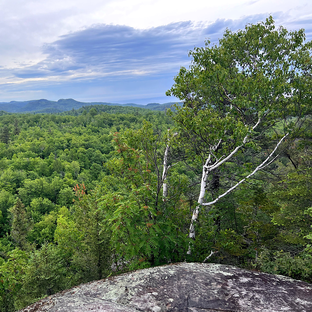
Enormous cliffs rise out of nothing, a rock climbers dream and an aerie perch for day hikers. But it’s a fast one mile ascent and I’m winded, plus not optimal for hanging around with big wind. I’ve thrown myself off the side of these cliffs several times, especially the cool slab which you friction climb without hand holds, so I know it well. I even watched Northern Lights sitting on the edge.
I snap pictures then head steeply down to Sawmill Creek running through rubble and exposed roots. It finally levels out, the cliffs like enlarged Easter Island heads looking out to the boreal forest.
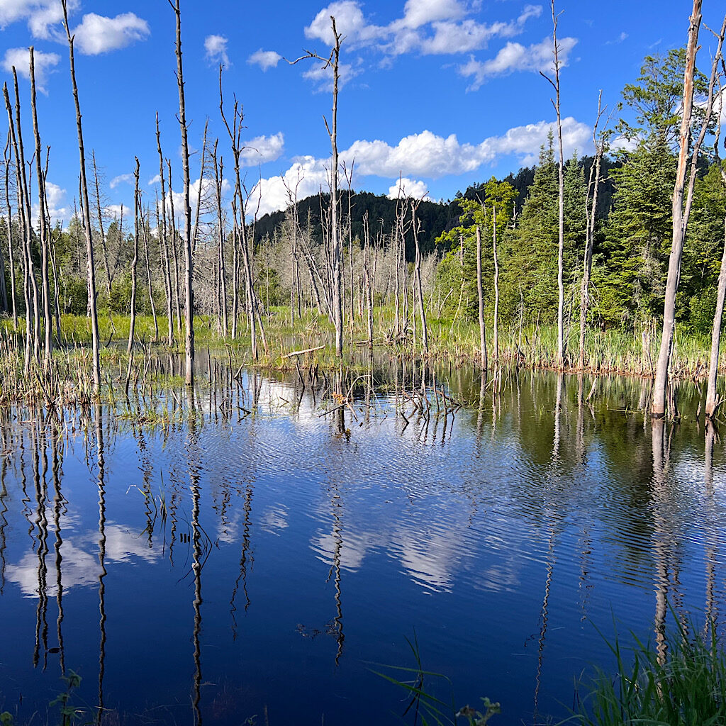
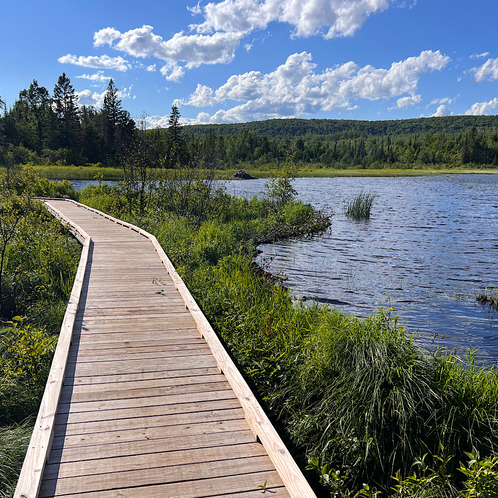
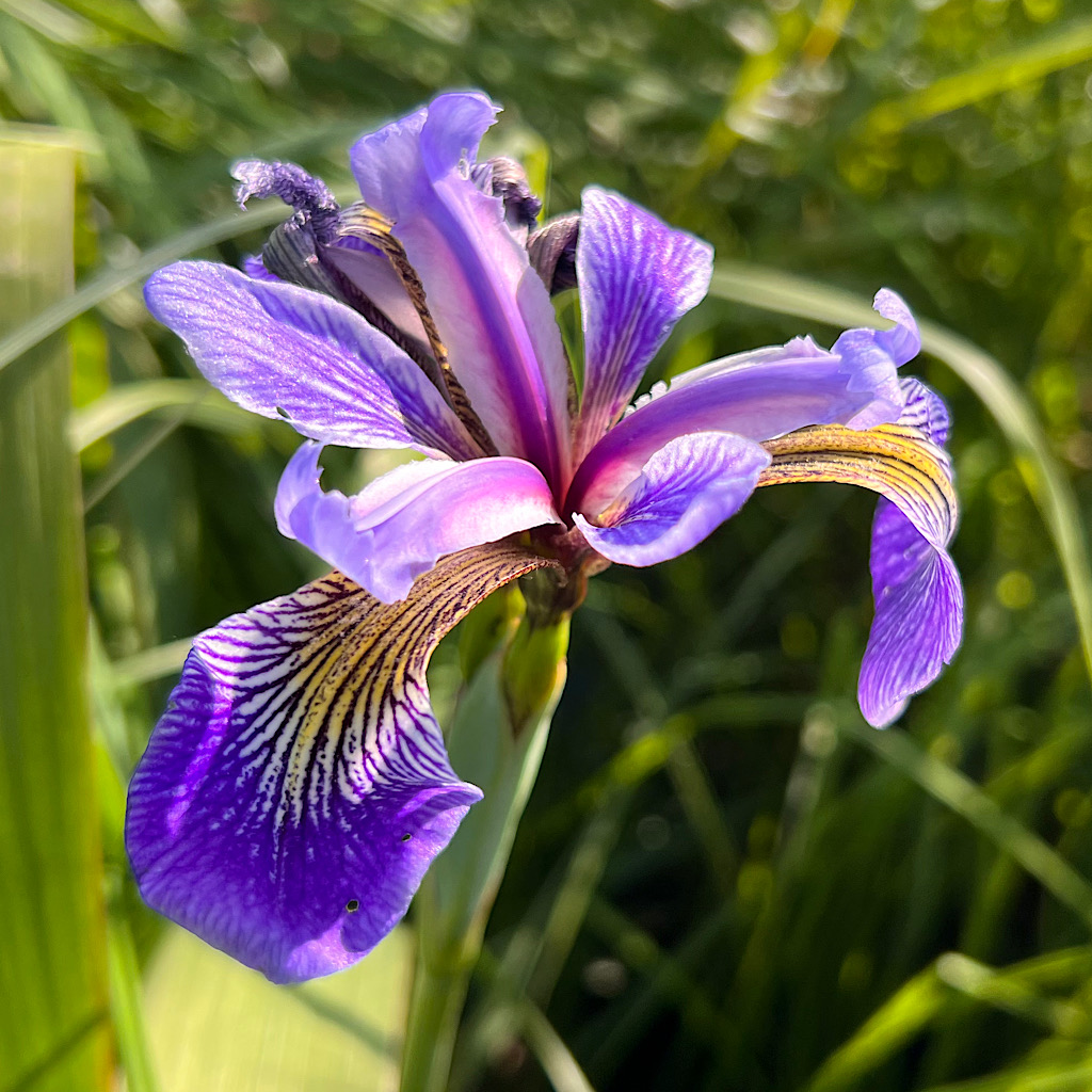
Almost immediately, i meet the “Sawmill Bog Area,” or so the sign tells me. It’s a large pond expertly dammed, the artists likely in the stick pile den covered in purple irises.
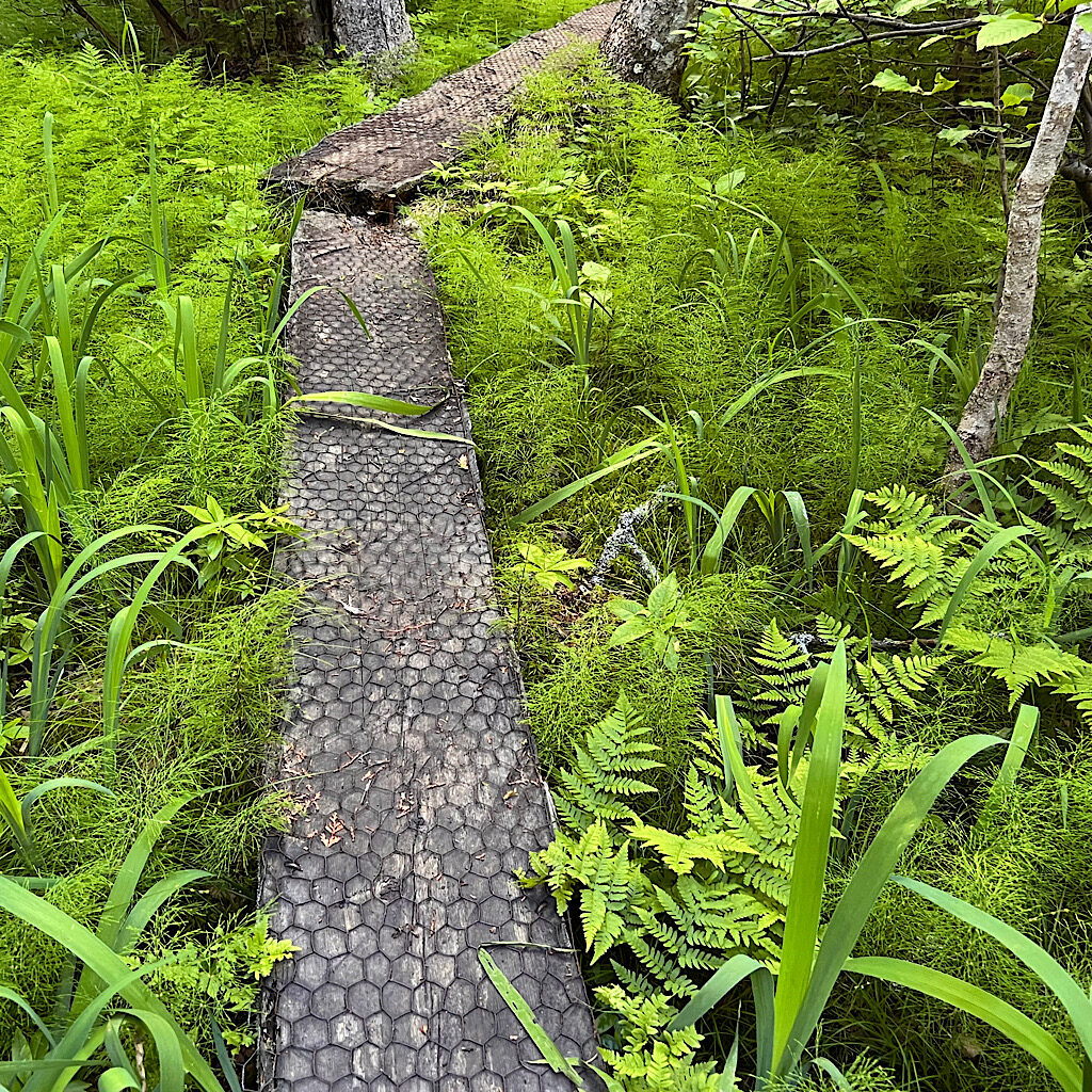
Fortunately I get a boardwalk shared with dragonflies. This is followed by one of the longest rough hewn boardwalks ever over mud flats which lead to a lady slipper area, the ground thick with peat and moss but no slippers yet.
On and on I walk. Easy now, less humid, no bugs, but I’m tired. I come around the corner expecting the site, but instead nearly run into a gigantic erratic deposited here by an ice bulldozer.
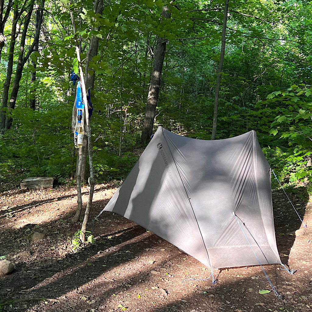
The site is lovely under large maple, the wind keeping it cool and less buggy. Julie and Mark hike in with booze and snacks and we all happily chat and turn in before dark – only to be awakened by three loud backpackers. Ugh.
Maybe they’ll shut up…
or maybe I’ll suggest it.
